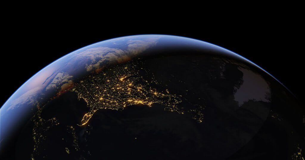
Google Earth happens to be a cloud-based platform that is geospatial through which the users can both analyze and visualize the Earth as a three-dimensional globe. The platform access aerial and satellite imagery. Moreover, it allows one to access the planet’s topography, ocean bathymetry, and other geographical data.
Google Earth is used for natural resource management, foreseeing disease outbreaks, remote sensing research, and so much more.
Steps to Use Google Earth

Here is how you can use Google Earth:
Step 1: Download and Install Google Earth
First of all, download and install Google Earth.
Step 2: Enter the Place You Want to Share
Tap the search icon and enter the place you want to search.
You can search using the search bar at the top left side of the program. After pressing the Enter key, you will be flying to that destination.
Step 3: Move Around
You can drag and move the map around with your finger to go from one area to another.
Step 4: Zoom In and Zoom Out
The right-hand side of the screen has zoom-out and zoom-in options that you can use.
To get a better angle, you can use the wheel in the top right corner. You can even change the location by clicking the button in the center.
For a better view, like on the planet, you can use the horizontal bar in the right-hand corner.
You can see the satellite images from different days throughout the year and see the date on the bottom left-hand corner of the screen. For that, zoom to an area where the satellite image shows the date and click the history imagery for enabling the feature.
Using the Layers Button

The Layers button in the button left corner, allow you to benefit from a wide range of features.
- You can turn the weather view and click both Clouds and Radar options. This would let you see both rain and snow and clouds on the map similar to watching the weather on a TV screen.
- You can also turn on other buttons and get additional information about the location. For that, you can also turn on the YouTube videos and see when the videos were marked. You can go through the list and go through a variety of useful features.
- Viewers who prefer Hybrid mode on their Android and iPhone devices or Google maps can turn on the settings of Roads from where you can see the roadways.
- Using Google Earth can also get you traffic data for big cities in Canada and US when you turn on the Traffic from More drop-down menu.
What’s more? You can even view the night sky, the Moon, and even Mars by using satellite imagery. You can find the toggle switch in the View-Explore tab in the drop-down in the Menu Bar.
Android Central reports that if you wish to discover the earth, Google Earth is the best way to do so. One can spend hours on it if engrossed. It is one of the best programs out there. You can view its satellite view in higher resolution as compared to Maps. Furthermore, Google Earth also includes a full 3D version of its satellite data.


